Remote sensing and spectroscopy are revolutionizing how scientists observe, analyze, and understand our world. These powerful technologies allow us to see beyond human perception, revealing hidden patterns, compositions, and changes across Earth and beyond.
From monitoring climate change to discovering new exoplanets, from precision agriculture to archaeological discoveries, the fusion of remote sensing with spectroscopic analysis has opened unprecedented opportunities. Modern science increasingly relies on these invisible eyes that capture wavelengths our own eyes cannot detect, transforming raw data into actionable knowledge that shapes policy, conservation efforts, and technological innovation.
🔭 The Foundation: Understanding Remote Sensing and Spectroscopy
Remote sensing fundamentally refers to gathering information about objects or areas from a distance, typically from aircraft or satellites. Unlike traditional observation methods requiring physical presence, remote sensing captures electromagnetic radiation reflected or emitted from Earth’s surface, atmosphere, and beyond.
Spectroscopy complements this by analyzing how matter interacts with different wavelengths of electromagnetic radiation. Every material absorbs, reflects, or emits light in unique patterns—creating a spectral signature as distinctive as a fingerprint. When combined with remote sensing platforms, spectroscopy becomes a powerful diagnostic tool capable of identifying materials, measuring concentrations, and detecting changes across vast distances.
The electromagnetic spectrum extends far beyond visible light, encompassing radio waves, microwaves, infrared, ultraviolet, X-rays, and gamma rays. Each portion reveals different properties of matter. Infrared radiation, for instance, is particularly useful for detecting heat signatures and vegetation health, while radar wavelengths can penetrate clouds and vegetation canopy to reveal ground surface features.
The Historical Evolution of Seeing the Unseen
The journey began with simple aerial photography in the mid-1800s, when cameras mounted on balloons captured bird’s-eye views for military reconnaissance and mapping. The launch of Sputnik in 1957 and subsequent satellite programs transformed remote sensing from a curiosity into a strategic necessity.
The Landsat program, initiated in 1972, marked a watershed moment by providing the first continuous, systematic collection of Earth imagery. Decades of Landsat data now form an invaluable archive documenting environmental change, urban expansion, deforestation, and countless other transformations. This historical record enables scientists to track trends, validate models, and predict future scenarios with increasing confidence.
🌍 Earth Observation: Monitoring Our Changing Planet
Climate scientists rely heavily on remote sensing to track global temperature patterns, ice sheet dynamics, sea level rise, and atmospheric composition. Satellites equipped with advanced spectrometers measure greenhouse gas concentrations with unprecedented precision, providing critical data for climate models and international policy decisions.
The melting of polar ice caps serves as a prime example. Satellite altimetry measures ice sheet thickness changes with centimeter-level accuracy, while synthetic aperture radar penetrates ice to reveal structural features. Spectroscopic measurements detect changes in surface properties that indicate melting or refreezing events. Together, these measurements paint a comprehensive picture of cryosphere dynamics impossible to obtain through ground-based observations alone.
Tracking Deforestation and Ecosystem Health
Tropical rainforests, often called the lungs of the Earth, face unprecedented threats from deforestation and degradation. Remote sensing provides the only practical means of monitoring these vast, inaccessible regions continuously. Multispectral and hyperspectral sensors detect subtle changes in vegetation reflectance that indicate stress, disease, or selective logging before visible damage becomes apparent.
The normalized difference vegetation index (NDVI) exploits the fact that healthy vegetation strongly reflects near-infrared light while absorbing red light. By calculating the ratio between these wavelengths, scientists create maps showing vegetation vigor across entire continents. Time-series analysis of NDVI data reveals seasonal patterns, drought impacts, and long-term ecosystem trends.
Advanced spectroscopic techniques can even identify tree species from space by analyzing their unique spectral signatures. This capability enables biodiversity assessments, invasive species detection, and targeted conservation efforts without disturbing sensitive ecosystems.
🌾 Precision Agriculture: Feeding the Future Efficiently
Agriculture consumes approximately 70% of global freshwater resources and significantly impacts land use, biodiversity, and greenhouse gas emissions. Remote sensing and spectroscopy offer pathways toward sustainable intensification—producing more food with fewer resources and environmental impacts.
Farmers equipped with drone-mounted multispectral cameras can identify crop stress zones requiring intervention days or weeks before symptoms become visible. Spectral analysis reveals nitrogen deficiency, water stress, pest infestations, and disease outbreaks at early stages when targeted treatment remains effective and economical.
This precision approach contrasts sharply with traditional uniform application of water, fertilizers, and pesticides across entire fields. Variable rate technology, guided by spectral maps, applies inputs only where needed in optimal quantities. The result: reduced costs, minimized environmental contamination, and improved yields.
Soil Analysis Through Spectral Signatures
Soil properties profoundly influence agricultural productivity, yet traditional soil testing remains labor-intensive and provides limited spatial coverage. Hyperspectral remote sensing offers a revolutionary alternative by analyzing soil spectral signatures that correlate with organic matter content, moisture levels, mineral composition, and contamination.
Visible and near-infrared spectroscopy can predict soil organic carbon content, pH levels, and nutrient availability with accuracy rivaling laboratory analysis. Applied across agricultural landscapes, this technology enables soil management strategies tailored to spatial variability, optimizing productivity while preserving soil health for future generations.
💧 Water Resource Management in an Era of Scarcity
Water security represents one of humanity’s most pressing challenges, affecting billions of people worldwide. Remote sensing provides essential capabilities for monitoring water availability, quality, and consumption patterns across scales from individual fields to entire river basins.
Thermal infrared sensors measure surface temperature patterns that indicate evapotranspiration rates—the combined water loss from soil evaporation and plant transpiration. These measurements inform irrigation scheduling, drought monitoring, and water rights management. In regions dependent on snowmelt for water supply, remote sensing tracks snow cover extent and snow water equivalent, enabling accurate forecasting months in advance.
Detecting Water Quality from Space
Water quality profoundly affects ecosystem health and human welfare, yet traditional monitoring requires expensive, time-consuming laboratory analysis of physical samples. Spectroscopy revolutionizes this process by detecting water quality parameters remotely through their optical signatures.
Chlorophyll concentrations indicating harmful algal blooms appear as distinctive spectral features in visible and near-infrared wavelengths. Suspended sediment loads alter water color and turbidity in measurable ways. Dissolved organic matter influences ultraviolet and blue light absorption. Advanced algorithms translate these spectral measurements into quantitative water quality parameters, enabling continuous monitoring of lakes, reservoirs, rivers, and coastal waters.
Early detection of algal blooms allows water treatment facilities to adjust procedures before toxins reach dangerous concentrations. Sediment monitoring identifies erosion sources requiring conservation intervention. These applications demonstrate how spectral remote sensing transforms water resource management from reactive crisis response to proactive stewardship.
🏛️ Archaeological Discoveries: Revealing Hidden History
Archaeological remote sensing represents a fascinating application where invisible wavelengths reveal structures buried for centuries. Vegetation stress patterns above underground walls or ditches create subtle spectral differences detectable by multispectral sensors. Ground-penetrating radar and LiDAR (Light Detection and Ranging) penetrate vegetation canopy and soil to map subsurface features without excavation.
LiDAR technology has revolutionized archaeology in forested regions where dense vegetation obscures ground features. Laser pulses penetrate gaps in tree canopy, creating detailed elevation models that reveal ancient cities, agricultural terraces, and ceremonial sites invisible to traditional survey methods. Discoveries in Central America, Southeast Asia, and elsewhere have rewritten understanding of ancient civilizations and their environmental interactions.
Cultural Heritage Preservation
Beyond discovery, remote sensing contributes to cultural heritage preservation by monitoring threats to archaeological sites. Satellite imagery tracks urban encroachment, agricultural expansion, and looting activities affecting vulnerable sites. Spectral analysis detects environmental stressors like erosion, vegetation overgrowth, or pollution damage to monuments and artifacts.
This monitoring capability proves especially valuable for sites in conflict zones or remote areas where physical inspection remains dangerous or impractical. International organizations increasingly rely on satellite monitoring to assess heritage damage during armed conflicts and natural disasters, informing preservation priorities and restoration efforts.
🔬 Medical and Materials Science Applications
While often associated with large-scale Earth observation, spectroscopy also powers critical advances in medical diagnostics and materials science. Near-infrared spectroscopy enables non-invasive monitoring of tissue oxygenation and blood flow, supporting clinical decisions in intensive care units and during surgery.
Raman spectroscopy identifies molecular compositions by analyzing inelastic light scattering, distinguishing cancerous from healthy tissue during biopsies without invasive staining procedures. This capability promises faster, more accurate cancer diagnosis and surgical guidance, potentially improving patient outcomes significantly.
In materials science, spectroscopic techniques characterize nanomaterials, semiconductors, polymers, and countless other substances essential to modern technology. Quality control, contamination detection, and process optimization across manufacturing industries depend on rapid, accurate spectroscopic analysis.
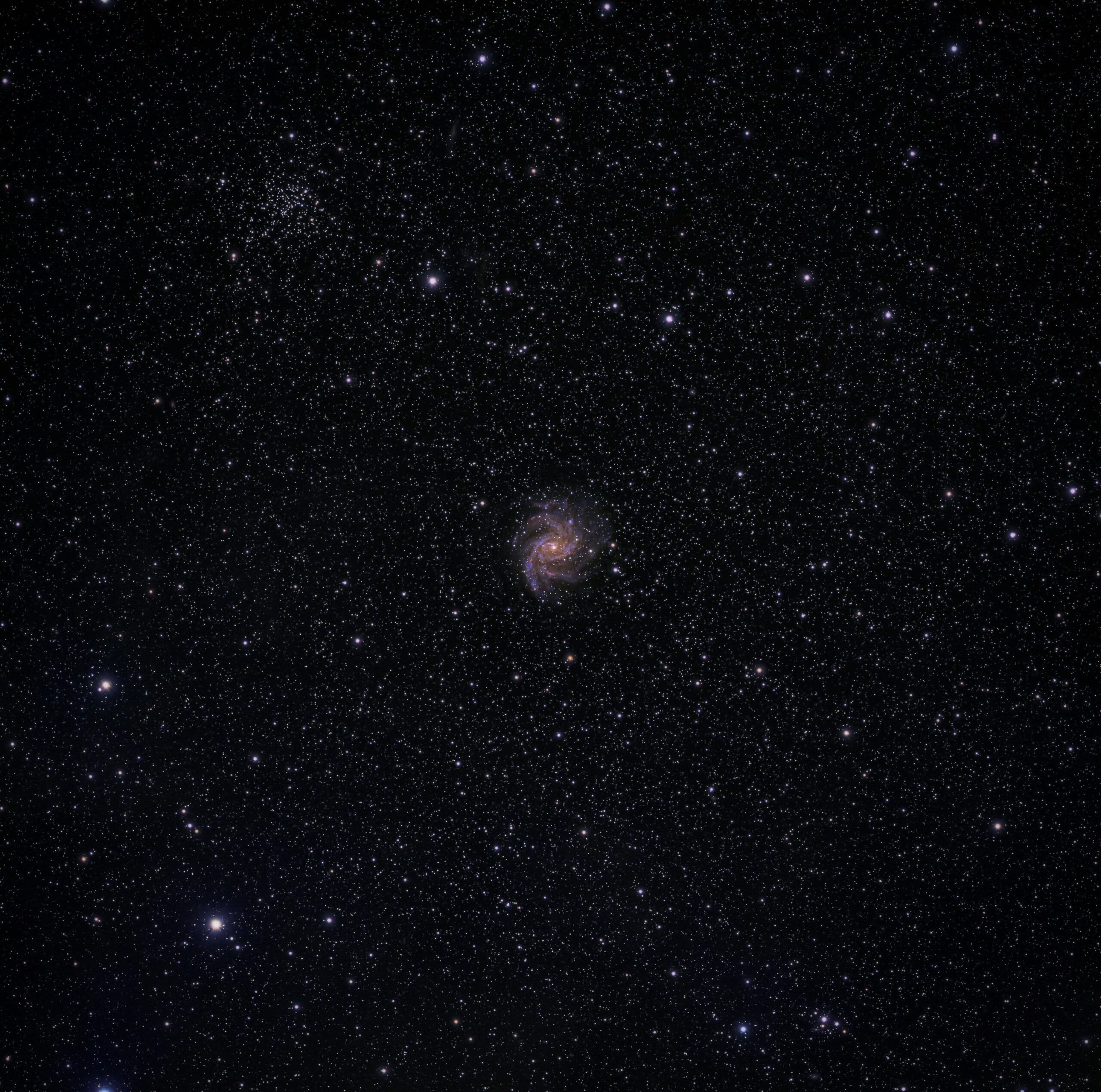
🪐 Planetary Science: Exploring Distant Worlds
Spectroscopy serves as our primary tool for understanding celestial bodies we cannot physically sample. Every planet, moon, asteroid, and comet reflects or emits light carrying encoded information about its composition, temperature, and atmospheric properties.
Mars rovers carry sophisticated spectrometers analyzing rock and soil compositions to understand the planet’s geological history and assess past habitability. Spectroscopic detection of methane in Mars’ atmosphere sparked intense debate about potential biological sources, though geological processes remain more likely explanations.
Exoplanet Characterization
The discovery of thousands of exoplanets orbiting distant stars represents one of astronomy’s greatest recent achievements. Spectroscopy enables characterization of these worlds despite their enormous distances. When exoplanets transit their parent stars, starlight passes through their atmospheres, creating absorption features revealing atmospheric composition.
Scientists have detected water vapor, methane, carbon dioxide, and other molecules in exoplanet atmospheres using transit spectroscopy. These findings constrain planetary formation theories and guide the search for potentially habitable worlds. Future space telescopes promise even more detailed spectroscopic observations capable of detecting biosignature gases that might indicate extraterrestrial life.
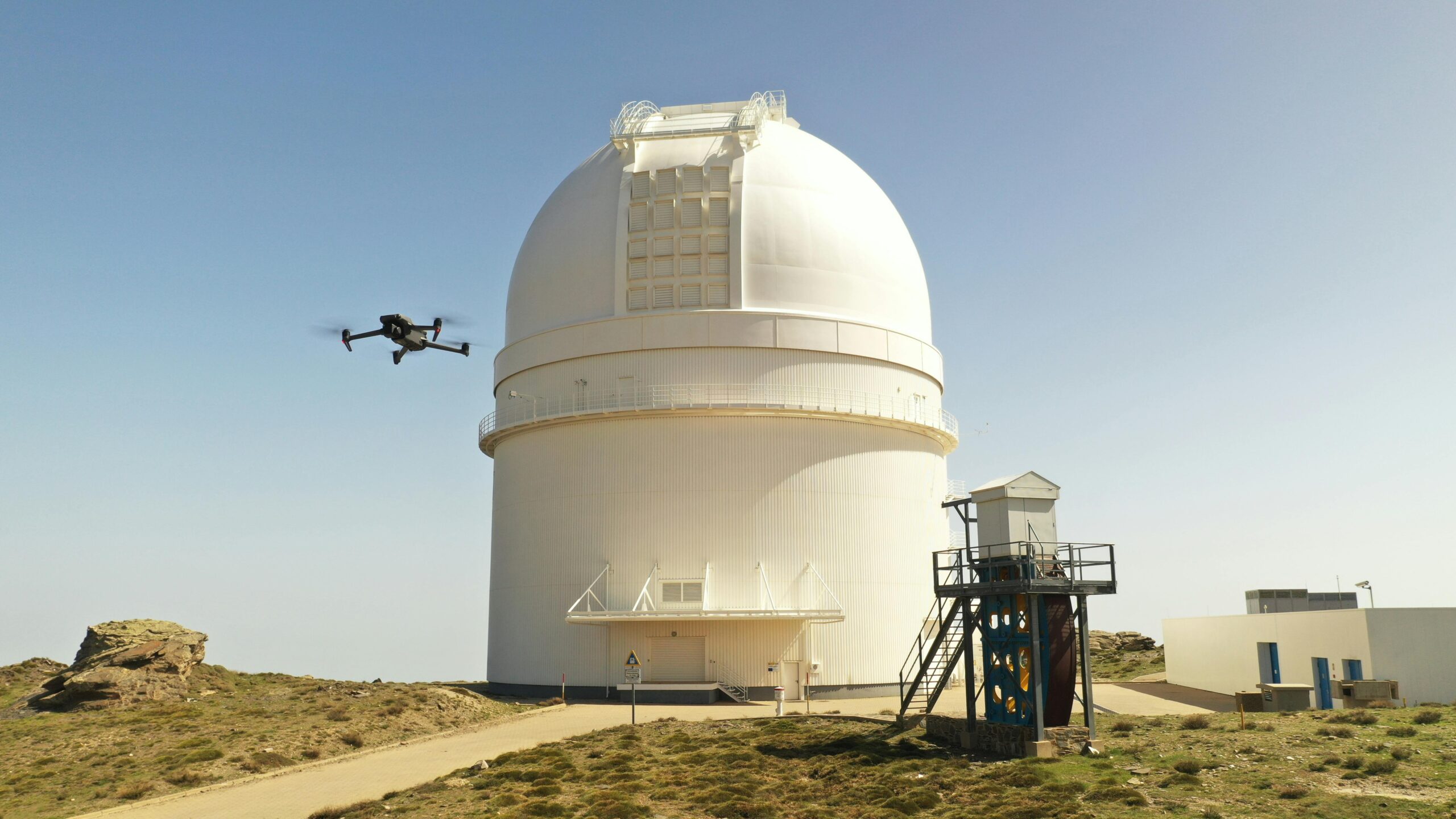
📱 The Democratization of Remote Sensing Technology
Historical barriers to remote sensing access—expensive satellites, specialized expertise, proprietary data—are rapidly falling. Cloud computing platforms now provide free access to petabytes of satellite imagery and processing tools. Small, inexpensive satellites launched by universities and private companies augment data availability.
Consumer drones equipped with multispectral cameras cost thousands rather than millions of dollars, bringing advanced remote sensing capabilities to individual farmers, researchers, and environmental organizations. Open-source software packages enable sophisticated spectral analysis on ordinary computers.
This democratization accelerates innovation by empowering diverse communities to address local challenges with global-scale tools. Citizen science projects engage volunteers in analyzing satellite imagery to map wildlife, track deforestation, or assess disaster damage, multiplying scientific capacity while building public engagement with Earth observation.
🚀 Emerging Technologies and Future Directions
Hyperspectral imaging represents the cutting edge of spectroscopic remote sensing, capturing hundreds of narrow spectral bands compared to the handful measured by traditional multispectral sensors. This spectral richness enables unprecedented material discrimination and quantitative analysis.
Artificial intelligence and machine learning algorithms increasingly extract insights from spectral data, identifying subtle patterns invisible to human analysts. Deep learning models trained on vast image archives automatically detect changes, classify land cover, and predict environmental variables with human-level or superior accuracy.
Quantum Sensing and Enhanced Capabilities
Quantum technologies promise revolutionary advances in sensing precision and capability. Quantum sensors exploit quantum mechanical phenomena to achieve measurement sensitivities approaching fundamental physical limits. Applied to remote sensing, these technologies may enable detection of incredibly subtle signals currently lost in noise.
Integration of remote sensing with Internet of Things (IoT) sensor networks creates comprehensive environmental monitoring systems combining satellite observations with ground-based measurements. This multi-scale approach provides context and validation, improving accuracy and enabling rapid response to detected changes.
🌟 Transforming Scientific Understanding and Decision-Making
The true power of remote sensing and spectroscopy lies not merely in data collection but in transforming that data into actionable knowledge. Climate scientists combine decades of satellite observations with sophisticated models to project future scenarios and evaluate mitigation strategies. Conservation biologists identify critical habitats requiring protection and monitor effectiveness of conservation interventions.
Governments rely on remote sensing for land use planning, disaster response, and resource management. International treaties on climate change, ocean conservation, and transboundary resources depend on satellite monitoring for verification and compliance assessment.
Private sector applications span industries from insurance companies assessing risk to logistics firms optimizing routes to energy companies siting renewable installations. The economic value of Earth observation continues growing as more organizations recognize the competitive advantages offered by timely, accurate environmental intelligence.
🔮 The Invisible Made Visible: A New Way of Seeing
Remote sensing and spectroscopy fundamentally expand human perception, revealing phenomena and processes invisible to unaided senses. We now observe plant stress before symptoms appear, detect minute atmospheric pollutants across continents, and analyze the composition of planets orbiting distant stars.
These technologies transform abstract scientific concepts into tangible observations that inform policy, drive innovation, and deepen understanding. The invisible becomes visible, the distant becomes proximate, and the complex becomes comprehensible through the power of spectral analysis applied across scales from microscopic to cosmic.
As sensor technologies advance, data access expands, and analytical methods improve, the transformative potential of remote sensing and spectroscopy continues growing. The future promises even more sophisticated capabilities for addressing challenges in sustainability, health, security, and scientific discovery. By unlocking the invisible, we gain unprecedented power to understand, protect, and wisely manage our world and explore the universe beyond.